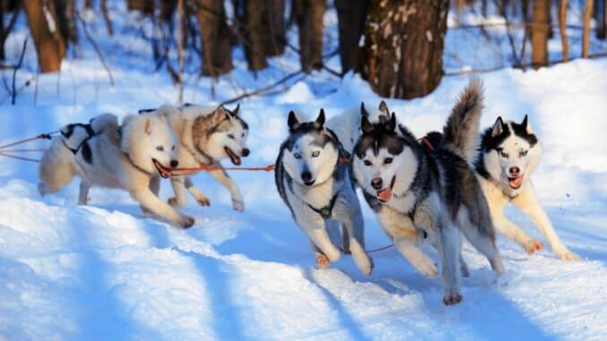
As expected the cold snap from Siberia has hit the Alps and Europe as a whole pretty hard. This was actually forecast 5 days ago and as predicted it’s arrived in its full glory. We were all told to wrap up warm but we didn’t expect it would be this severe, as reported “A massive flush of cold Siberian air will approach from the north-east on Sunday night,” said the forecaster for the Austrian resorts of Lech and Zurs. “A massive temperature decrease is expected at all altitudes.” They were not wrong there were they!
As March approaches (where has the time gone?) the daytime freezing point is at sea level which is the lowest seen so far this winter. It’s been reported that in Courchevel at the bottom of the lifts which is at 1300m the temperature didn’t rise above -7C so once at the top the chill factor I imagine was bitterly cold! The current ECMWF (European Centre for Medium-Range Weather Forecasts) chart from Meteociel for 28th February is as follows “The cold spell is likely to last for the whole of next week too and will probably get stormier with the passage of time”
However the weather in the Alps is expected to change towards the end of this week but at this moment the avalanche forecasters have predicted in the Tirol a top temperature of -20C at 2000m, and in St Anton at resort level the high was -12C. In Val d’Isère (France) was expecting -10C at resort level and -17C up high. The cold temperatures are expected to continue on Wednesday too.
A change is expected for Thursday as the cold air will edge north, and winds from the south and south-west will see a milder air stream. Still very cold however the daytime freezing point will be at around 1500m seeing 0C in lots of resorts at village level. A snow fall of around 30cm is forecast in the western Alps around the Serre Chevalier area in France and Thursday is predicted to be the snowiest day of the week. Around 5cm to 20cm of snowfall is expected everywhere else.
The Italian Alps have had moderate snowfall last week with last Saturday seeing the most snowfall and here is where you will currently find the softest snow. We are seeing the pistes firm at the moment except in western Italy which had the heaviest snow fall over the weekend and the snow is currently soft. Great news at for now is that there is top to bottom skiing everywhere and for now we don’t need to be concerned regarding the spring slush arriving anytime soon.
If you want to ski off piste do so with a guide is our advice. The off piste conditions are varied and with this cold snap we are experiencing it is making the snow pack in some areas rather unstable. Even if there hasn’t been much of a new snowfall please be careful. By the end of the week the weather will have settled over the Alps somewhat says the ECMWFs they are saying that we will see temperatures usually expected in the first week of January. Then again as weather patterns are constantly changing who knows what we would normally expect to see in January it’s anyone’s guess!
